Has anyone a "Northern exposure" layout while operating BCOL,CP,CN trains on northern border state routes?
Or has anyone a more exotic "tortilla" layout while operating NdM,FerroMex trains on southwestern border state routes?
Just curious...
|


|
Has anyone a "Northern exposure" layout while operating BCOL,CP,CN trains on northern border state routes?
Or has anyone a more exotic "tortilla" layout while operating NdM,FerroMex trains on southwestern border state routes?
Just curious...
Replies sorted oldest to newest
I'd be interesting to see either example however I don't know of any personally.
--Greg
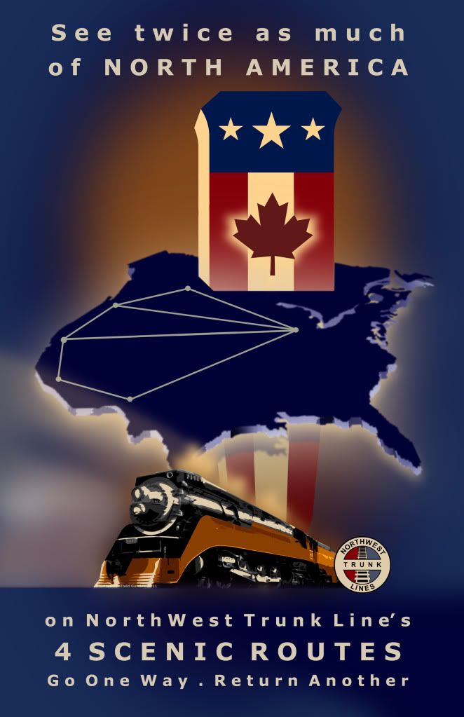
The Northwest Trunk Lines depicts locations in Washington, Idaho, Montana and British Columbia. The completion of the main line was commemorated with this poster by Todd Gamble.

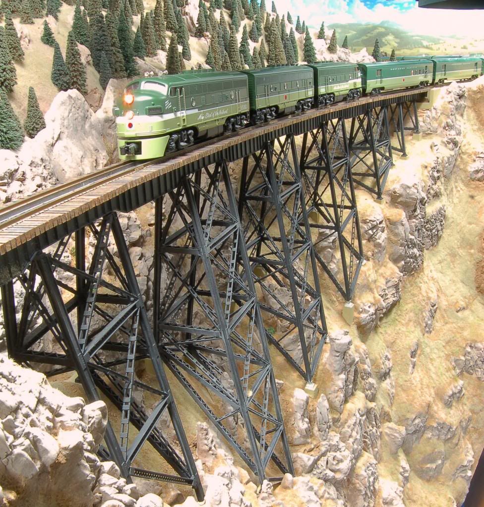
The NWTL's "Green Line" links Skykomish, Washington...

...with Butte, Montana...

...via Field, British Columbia.

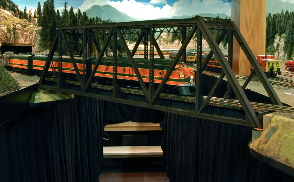
The "Blue Line" offers opportunities to depict BC Rail traffic from North Vancouver via the car barge service to Seattle on the Milwaukee pacific extension in Idaho and Montana.
The Northwest Trunk Lines depicts locations in Washington, Idaho, Montana and British Columbia. The completion of the main line was commemorated with this poster by Todd Gamble.
That layout is stunning have seen the progress over the years.
There are many locals that run a mix of US and Canadian roads on the layouts. It makes it interesting to be sorting freight on one railway and forwarding to another road then forward that to a 3rd railway. Depends on where you are in North America and era as to which roads you switch. BNSF was BN and before GN handled a lot of the traffic from the West and PGE later BC Rail via barge or CN rail transfer. CP has more direct links at the border with BNSF through several points in BC and further east and of course has runs to the mid east. Soo line used to be the Chicago link.
Transferring trains over different roads always makes for interesting switching and operations on a layout.
I'm not sure if my layout is exactly what you are looking for, but you might be interested anyway, given your affinity for BNSF.
I'm modeling a 60 mile section of the Amtrak Empire Builder route as it passes through the Minneapolis / St Paul area. The layout starts on the CP at Red Wing, Minnesota. It continues westward, and meets up with the BNSF just across the Mississippi River from Hastings. From there, it is joint trackage to just south of Northtown Yard, where the CP splits off and heads for Winnipeg and points west. The BNSF continues on to Seattle. The west end of the layout is just north of Northtown.
The mainline is a giant reverse loop, connected to a hidden staging yard which is also a reverse loop, but it will look like trains are running point to point.
If you'd like to see the layout construction, click on the link in my signature.
I'm not sure if my layout is exactly what you are looking for, but you might be interested anyway, given your affinity for BNSF.
Access to this requires an OGR Forum Supporting Membership
